






DC Metro Transit - Free

Descrição de DC Metro Transit - Free
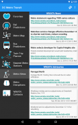
DC Metro Transit (Free) is an ad-supported mobile interface for WMATA (Metro and Bus) and other local agencies. A paid, ad-free, version is also available.
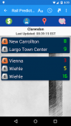
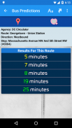
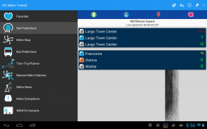
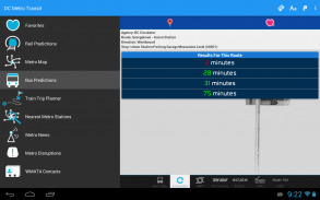
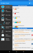
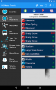
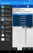
Get real-time predictions for DC Metrorail, Metro Bus, Arlington Transit (ART), DC Circulator, PG County - The Bus, Fairfax CUE, GMU Shuttle, and UMD Shuttle. Keep track of your favorite stations and sort them however you like!
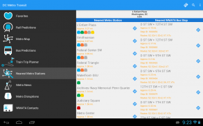
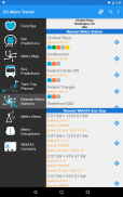
Find your way to the nearest Metrorail stations and WMATA bus stops by using your devices GPS with the “Nearest Stations” feature. Once you have your results, one click will get you turn by turn directions with Google Maps.
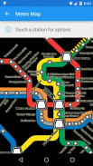
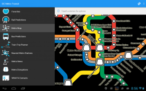
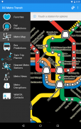
Use our interactive map of the Metrorail system to find your way around. Having trouble finding a station entrance?
Click a station on the map and choose “Street View” and have a look around.
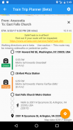
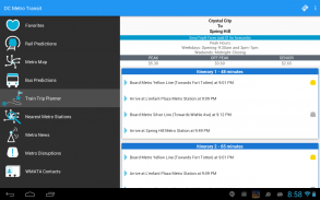
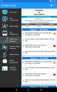
The train trip planner will help you to plan your station-to-station trip, help you with transfers, and provide time, distance, and fare estimates for your trip.
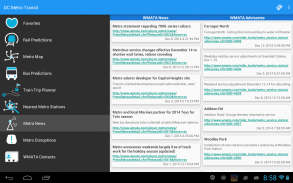
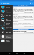
Keep up to date with the latest News, Advisories, and system outages that may impact your commute.
**If you run into issues, please email the support email address. The support email is monitored daily and is the fastest way to get a resolution!**DC Metro Transit (Free) é uma interface móvel suportada por anúncios para WMATA (metrô e ônibus) e outras agências locais. A paga, sem anúncios, a versão também está disponível.
Obter previsões em tempo real para DC Metrorail, Metro Bus, Arlington Transit (ART), DC Circulador, PG County - The Bus, Fairfax CUE, GMU Shuttle, e UMD Shuttle. Mantenha o controle de suas estações favoritas e classificá-los da maneira que quiser!
Encontre o seu caminho com a aproximação de estações de Metrorail e ônibus WMATA pára usando seus dispositivos GPS com o recurso de "estações mais próximas." Depois de ter seus resultados, um clique vai te transformar por sua vez direções com o Google Maps.
Use o nosso mapa interativo do sistema Metrorail para encontrar o caminho de volta. Tendo dificuldades para encontrar uma entrada da estação?
Clique uma estação no mapa e escolha a opção "Street View" e dar uma olhada ao redor.
O planejador de viagem de trem vai ajudar você a planejar sua viagem estação-a-estação, ajudá-lo com as transferências, e fornecer tempo, a distância, e as estimativas de tarifas para sua viagem.
Mantenha-se atualizado com as últimas notícias, Avisos, e interrupções do sistema que podem afetar o seu trajeto.
** Se você tiver problemas, por favor enviar e-mail o endereço de e-mail de apoio. O e-mail de suporte é monitorada diariamente e é a maneira mais rápida de obter uma resolução! **


